Cached version (why?). Downloaded 290 days ago from the original wiki page. Pages older than 18 hours will be reloaded in the background.
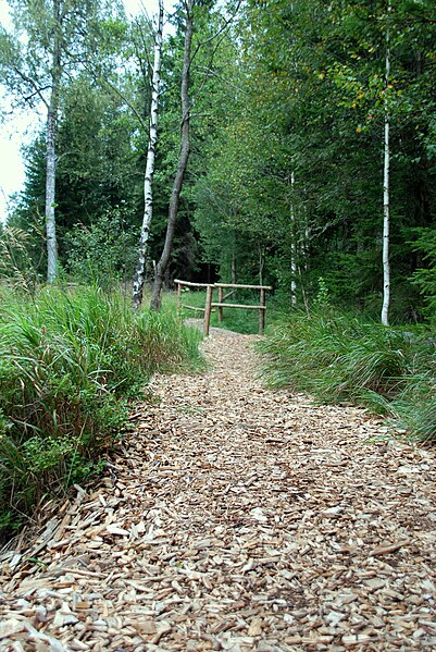
File:Tanner Moor 2 (DFdB).jpg
Jump to navigation
Jump to search


Size of this preview: 401 × 599 pixels. Other resolutions: 160 × 240 pixels | 321 × 480 pixels | 514 × 768 pixels | 685 × 1,024 pixels | 1,371 × 2,048 pixels | 2,592 × 3,872 pixels.
Original file (2,592 × 3,872 pixels, file size: 7.93 MB, MIME type: image/jpeg)
File history
Click on a date/time to view the file as it appeared at that time.
| Date/Time | Thumbnail | Dimensions | User | Comment | |
|---|---|---|---|---|---|
| current | 18:32, 15 January 2010 |  | 2,592 × 3,872 (7.93 MB) | wikimediacommons>Dein Freund der Baum | == {{int:filedesc}} == {{Information |Description={{en|1=Walking path through the Tanner Moor covered with woodchips (Upper Austria)}} {{de|1=Wanderweg durch das Tanner Moor (Oberösterreich); der Weg ist zur besseren Begehbarkeit mit Hackschnitzel bedeck |
File usage
The following 36 pages use this file:
- Cs:Key:surface
- Da:Key:surface
- El:Key:surface
- Fi:Key:surface
- Hu:Key:surface
- Key:surface
- Pl:Key:surface
- Pt:Key:surface
- Uk:Key:surface
- Zh-hans:Key:surface
- User:H4ck3rm1k3/OSMKeys
- User:Haribo/Surfaces
- User:John07/wegbeschaffenheit/en
- Template:Az:Map Features:surface
- Template:Cs:Map Features:surface
- Template:DE:Map Features:surface
- Template:Da:Map Features:surface
- Template:FR:Map Features:surface
- Template:Generic:ES:Map Features:surface
- Template:Hu:Map Features:surface
- Template:IT:Map Features:surface
- Template:JA:Map Features:surface
- Template:Map Features:surface
- Template:NL:Map Features:surface
- Template:Pl:Map Features:surface
- Template:Pt:Map Features:surface
- Template:RU:Map Features:surface
- Template:Uk:Map Features:surface
- Template:Zh-hans:Map Features:surface
- DE:Key:surface
- FR:Key:surface
- IT:Key:surface
- NL:Key:surface
- RU:Key:surface
- RU:Объекты карты
- JA:Key:surface